Problem Statement
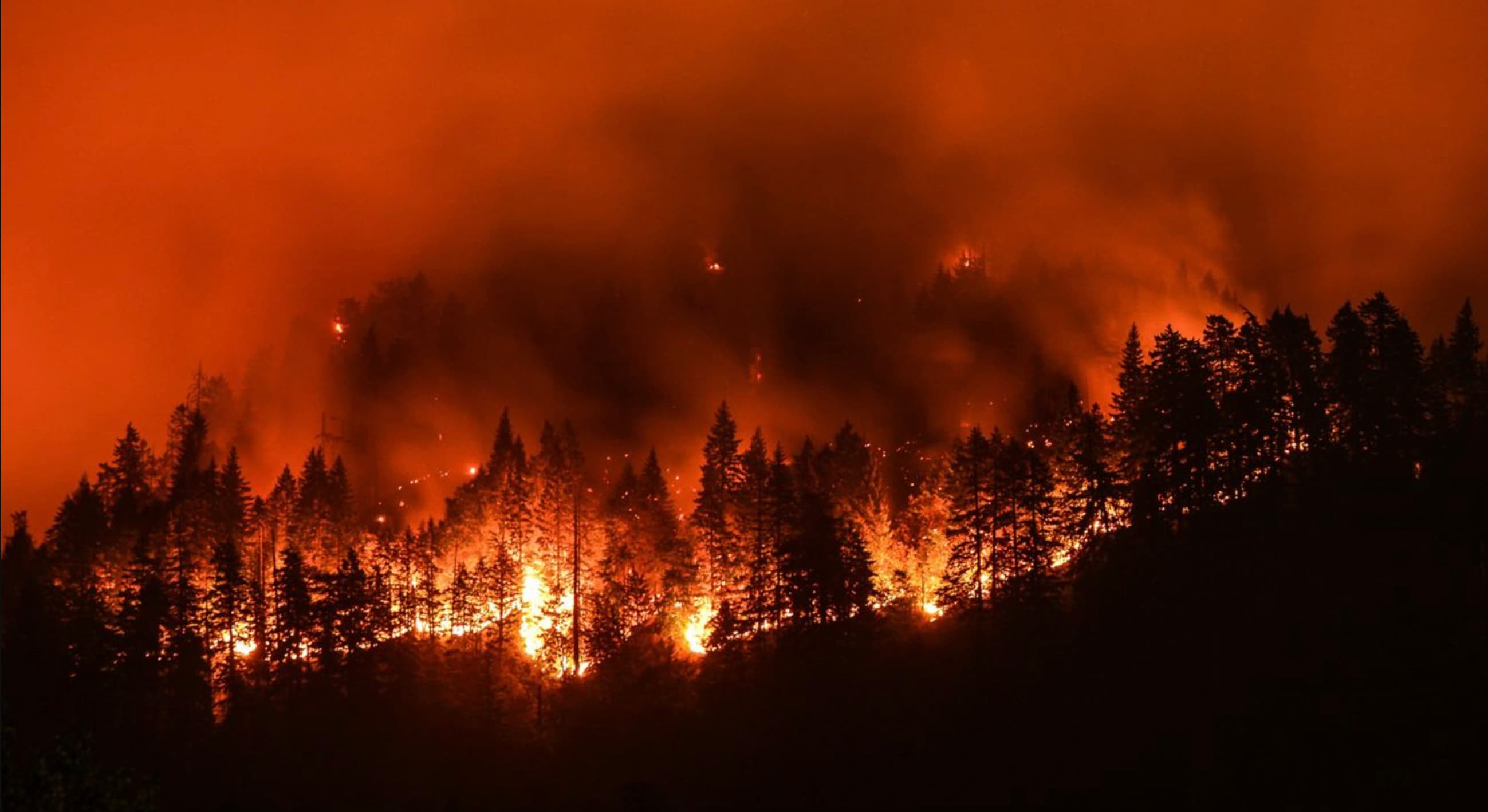
The Pacific Crest Trail runs 2,650 miles through the exact forests, watersheds, and mountain corridors that have absorbed the worst of the American West's wildfire escalation since 2000. Sections of the trail are now closed most summers, not as a rare event, but as an expected part of the season.
"Al Was Right" is a name, not a subtitle: this odyssey is built to test a claim, not assert one. Is the wildfire trend along the PCT actually getting worse, or does it just feel that way because of media coverage? The data settles it.
Analysis
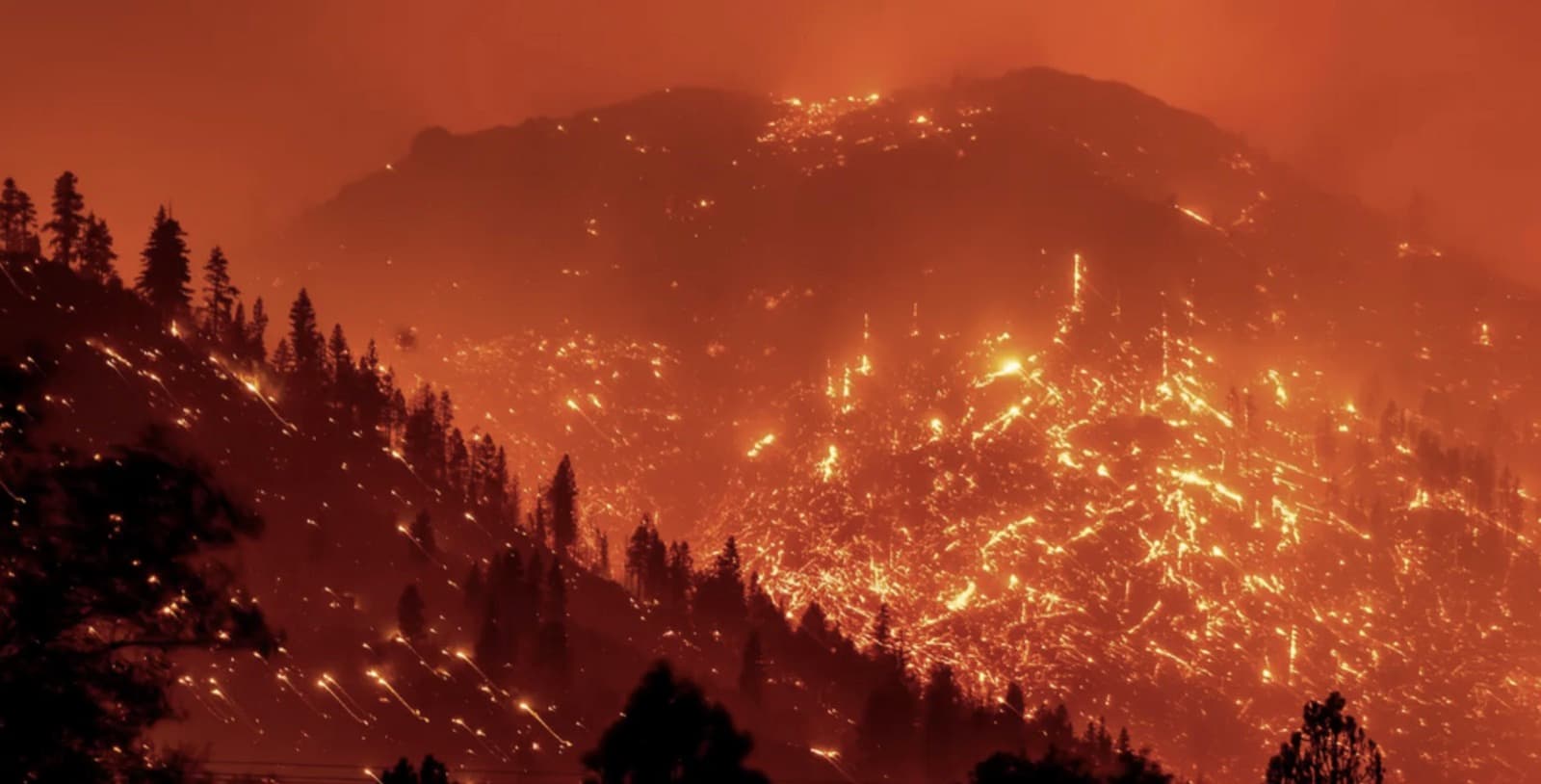
This analysis tracks every wildfire of 50,000 acres or more (the conventional threshold for a "mega-fire") within roughly 50 miles of the PCT corridor from 2000 through 2025, drawn from a broader research pass covering every fire 10,000+ acres in the same corridor (206 fires, published in full below).
The dataset is split into three eras to make the trend legible: 2000–2012, 2013–2019, and 2020–2025. Every figure below is computed directly from the published dataset, not hand-entered. The methodology and every row's individual source are in the downloadable CSV.
Mega-fires (≥50,000 acres) near the PCT, 2000–2025
Computed directly from the 206-fire published dataset: 77 fires meet the mega-fire threshold.
Three-era summary
Scroll to see all columns →
| Era | Years | Mega-fires | Mega-fires/yr | Mega acres/yr | Avg. mega-fire size |
|---|---|---|---|---|---|
| 2000–2012 | 13 | 23 | 1.77 | 194,688 | 110,041 acres |
| 2013–2019 | 7 | 18 | 2.57 | 284,886 | 110,789 acres |
| 2020–2025 | 6 | 36 | 6.00 | 1,176,702 | 196,117 acres |
Six largest fires in the dataset
August Complex
2020 · CA · Elk Creek / Stonyford
1,032,648 acres
Dixie Fire
2021 · CA · Greenville / Belden
963,309 acres
Park Fire
2024 · CA · Chico / Butte Meadows
429,603 acres
Bootleg Fire
2021 · OR · Fort Klamath / Chemult
413,717 acres
Creek Fire (2020)
2020 · CA · Shaver Lake / Big Creek / Huntington Lake
379,895 acres
North Complex Fire
2020 · CA · Paradise / Quincy
318,935 acres
Call to Action
Back federal wildfire-resilience funding
The U.S. Forest Service and National Interagency Fire Center have repeatedly flagged suppression-cost overruns eating into prevention budgets (prescribed burns, forest thinning, defensible-space programs). Tell your representatives that resilience funding, not just suppression funding, is the leverage point.
Support defensible-space and WUI building codes
Most of the structure loss in this dataset happened in the wildland-urban interface (WUI). Local defensible-space ordinances and fire-hardened building codes are some of the few interventions with direct, measurable effect on outcomes, and they're decided at the city and county level, where individual advocacy matters most.
Reduce the emissions that lengthen fire season
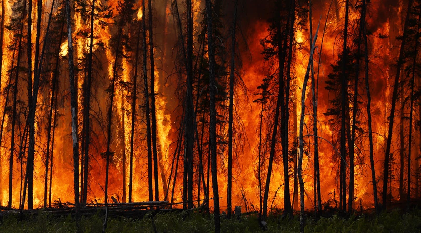
Longer, drier fire seasons are the mechanism connecting broader climate trends to what's on the ground here. Personal and institutional emissions reduction is a slower lever than local fire policy, but it's the one that changes the baseline this data is measuring.
Sources
- CAL FIRE incident archive & annual large-fire lists: fire.ca.gov/incidents, year-by-year official California incident data.
- USFS Pacific Northwest Region annual wildfire summaries: Official National Forest-level rankings of each year's largest Oregon and Washington fires.
- InciWeb incident archive: National Wildfire Coordinating Group incident information system.
- Wikipedia state wildfire-season articles & individual fire pages: Cross-referenced against primary agency sources for acreage, cause, structures, and fatalities.
- Individual fire source citations: Every one of the 206 rows in the published dataset carries its own specific source in the "Source" column. See the downloadable CSV below for row-level citations.
Datasets
PCT Wildfire Dataset (2000–2026)
206 rows
Every wildfire ≥10,000 acres identified within roughly 50 miles of the PCT corridor, 2000 through mid-2026: name, year, location, acreage, cause, structures destroyed, fatalities, financial damage, data-confidence flag, and source.
Download CSVPCT Trail Points
86 rows
86 waypoints along the full PCT (US/Mexico to US/Canada border): entry/exit points, resupply towns, and landmarks, for geographic context on where these fires sit relative to the trail.
Download CSVWatch the PSA
This odyssey's short-form PSA is part of the OB1 Odysseys series on Instagram. We'll link the specific post here once it's live. For now, the full data case above is what backs every claim it makes.
Browse @ob1odysseys on Instagram